
Spring equinox could be hottest day of 2025 so far and ‘well above average’
Forecasters have said that Thursday could hit 20C in south-eastern parts of the UK.

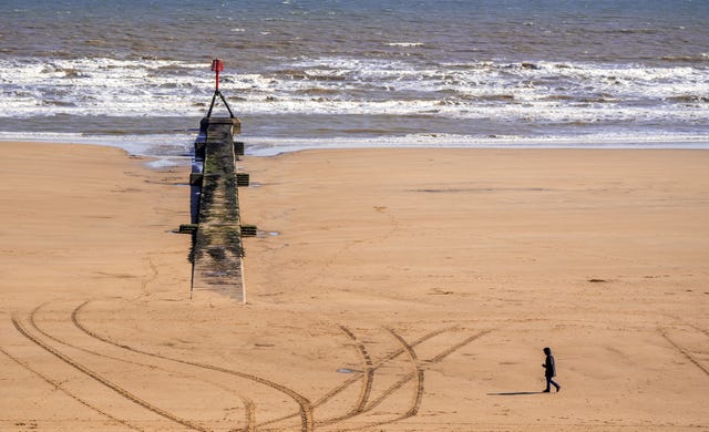
The spring equinox on Thursday could be the warmest day of 2025 and reach “well above average” temperatures, the Met Office has said.
Wednesday’s highest recorded temperature was 18.7C in Northolt, west London.
Met Office meteorologist Simon Partridge said Thursday will be generally dry and fine with plenty of sunny spells, adding: “It will be a little warmer too.
“The highest temperatures are expected in an area from London, the home counties to southern Midlands. Here we are likely to see 19C or 20C widely with one or two spots likely to reach 21C.”
The expected rise in temperatures coincides with the spring equinox which is the first day of astronomical spring.
Parts of the country may be hotter than Barcelona in Spain and Athens in Greece, where highs of 15C and 12C are forecast respectively.

The highest recorded UK spring equinox temperature was 21.5C in 1972, and Met Office spokesman Stephen Dixon said 2025’s highest temperature is unlikely to top that.
This year has so far peaked at 19.7C in Crosby, Merseyside, on March 9.
Wetter weather will move in on Friday and the weekend will be more unsettled.
Mr Dixon said: “Tomorrow’s weather – it’s going to be a widely dry, fine and sunny day for many, with temperatures well above average at the time of year.
“Temperatures are going to peak on the Thursday and they’ll decline into the weekend, heading closer towards average but still relatively warm for this time of year.”
Higher pressure to the east of the UK is currently helping to draw warmer air north across the country, he said.
The sunshine will be only broken by some fair-weather cloud in central parts of England on Thursday, he said.
Friday will remain warm for many but some rain is expected to move in from the south west.
Showers are forecast to start in Cornwall and gradually travel north-east during that day into parts of Wales and central and southern England.
Rain is then expected for much of the country through the weekend, and Met Office deputy chief meteorologist Steven Keates said: “This heralds the move to something more unsettled for the UK’s weather on Saturday, with more rain or showers developing for much of England, Wales and Northern Ireland through the day, and some heavier bursts likely in places.
“Western parts of Scotland are also likely to see rain on Saturday, with this gradually moving eastwards across the rest of Scotland through the weekend.
“Unsettled weather, with occasional rain or showers for many, will continue on Sunday, with plenty of cloud around as well.”
Meteorological spring always starts on March 1 while astronomical spring, or the equinox, begins around March 20 each year.
The other equinox is in September and both mark the sun crossing the equator, rather than being at an angle.
Day and night are therefore about the same length.


